Point clouds

Point cloud is nothing more than a multimillion set of points in the form of a geometric representation of the scanned object. It can be created by laser measurement scanning or photogrammetry. Due to the fact that CAD software has the ability to process data such as point clouds, laser scanning has become the standard for building inventories and as-built inventories. Point clouds can be made in grayscale by registering the intensity of the laser beam reflection or in RGB color where colors are derived from images taken by the scanner and thus the cloud is able to present a realistic image and is ideal for visualization purposes.
Laser scanning point clouds can be presented in the following formats:
- POD – Pointools and Bentley format
- PCG and RCS – AutoDesk format
- FLS – Faro format
- ZFC – Aveva,LFM Modeller format
- PTS, XYZ – standard ASCII format
- LAS, E57
- RCP / RCS – Autodesk format
Additionally, point clouds can be made available in the Faro Scan2GO viewer
Practical applications include:

as-built inventories and measurements during the construction process

documentation of historical monuments

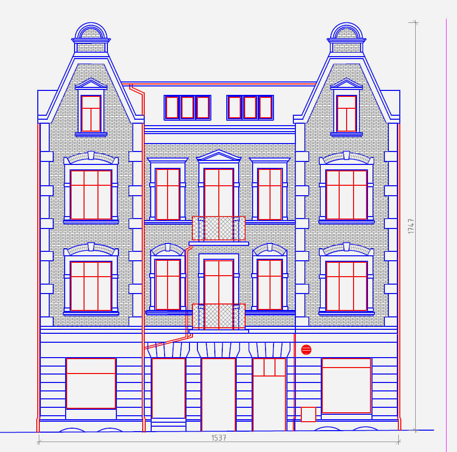
the creation of 2D documentation

data for 3D modeling

investigation of lighting levels (Right of Lights models)

calculation of volumes


